
किपा:India Uttarakhand location map.svg

Size of this PNG preview of this SVG file: ७२२ × ६०० pixels. Other resolutions: २८९ × २४० pixels | ५७८ × ४८० pixels | ९२५ × ७६८ pixels | १,२३३ × १,०२४ pixels | २,४६५ × २,०४८ pixels | ९५७ × ७९५ pixels.
Original file (SVG file, nominally ९५७ × ७९५ pixels, file size: ३११ KB)
P9328056203
Summary
| Description |
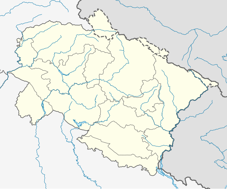
Location map of Uttarakhand Geographic limits of the map:
|
| Date | |
| Source | |
| Author |
|
Licensing
I, the copyright holder of this work, hereby publish it under the following license:
This file is licensed under the Creative Commons Attribution-Share Alike 3.0 Unported license.
- You are free:
- to share – to copy, distribute and transmit the work
- to remix – to adapt the work
- Under the following conditions:
- attribution – You must give appropriate credit, provide a link to the license, and indicate if changes were made. You may do so in any reasonable manner, but not in any way that suggests the licensor endorses you or your use.
- share alike – If you remix, transform, or build upon the material, you must distribute your contributions under the same or compatible license as the original.
File history
Click on a date/time to view the file as it appeared at that time.
| Date/Time | Thumbnail | Dimensions | छ्य्लामि | Comment | |
|---|---|---|---|---|---|
| current | ०३:००, २३ मे २०२१ | | ९५७ × ७९५ (३११ KB) | C1MM | Corrected rivers and dist boundaries |
| ०४:४३, २७ ज्यानुवरी २०२१ |  | १,२४५ × १,१२२ (१६१ KB) | C1MM | Changed line weights and regrouped rivers | |
| ०४:१३, २७ ज्यानुवरी २०२१ |  | १,२४५ × १,१२२ (१६७ KB) | C1MM | Increased line weight, district lines difficult to see in previous map | |
| ०५:१७, २२ अप्रिल २०२० |  | १,२४५ × १,१२२ (१६७ KB) | C1MM | Added rivers | |
| १८:४२, ५ जुलाई २०१४ |  | १,२४५ × १,१२२ (१०६ KB) | Milenioscuro | lines | |
| १८:२२, ५ जुलाई २०१४ |  | १,२४५ × १,१२२ (१०६ KB) | Milenioscuro | User created page with UploadWizard |
File usage
There are no pages that use this file.
Global file usage
The following other wikis use this file:
- Usage on azb.wikipedia.org
- کالیمات
- مارودا
- جوی (هیندوستان)
- جهولاقات
- جالتولا
- آمالدو (هیندوستان)
- مالاری
- رایدول
- لوچهمان قارهی
- پولام سومدا
- پرم ناقار, یوتاراخاند
- هارسیل
- پیپالکوتی
- قونجی, یوتاراخاند
- قورا پادو
- پانقوت (هیندوستان)
- قانقاریا
- دوالتال
- اوقلا (هیندوستان)
- داکپاتار
- چیتای (هیندوستان)
- ناتواخان
- چانچ (هیندوستان)
- بیرون دوال
- میرتولا
- مهالچاوری
- بنجی ویلیج
- کامالواقانجا
- خاتیاری
- بارچهینا
- باسوکدار
- کوتریساین
- باهادر آباد
- بایرولا
- Usage on ban.wikipedia.org
- Usage on bh.wikipedia.org
View more global usage of this file.