
किपा:India Rajasthan location map.svg

Size of this PNG preview of this SVG file: ७१५ × ५९९ pixels. Other resolutions: २८६ × २४० pixels | ५७३ × ४८० pixels | ९१६ × ७६८ pixels | १,२२२ × १,०२४ pixels | २,४४४ × २,०४८ pixels | १,०९३ × ९१६ pixels.
Original file (SVG file, nominally १,०९३ × ९१६ pixels, file size: ५११ KB)
Summary
| Description |
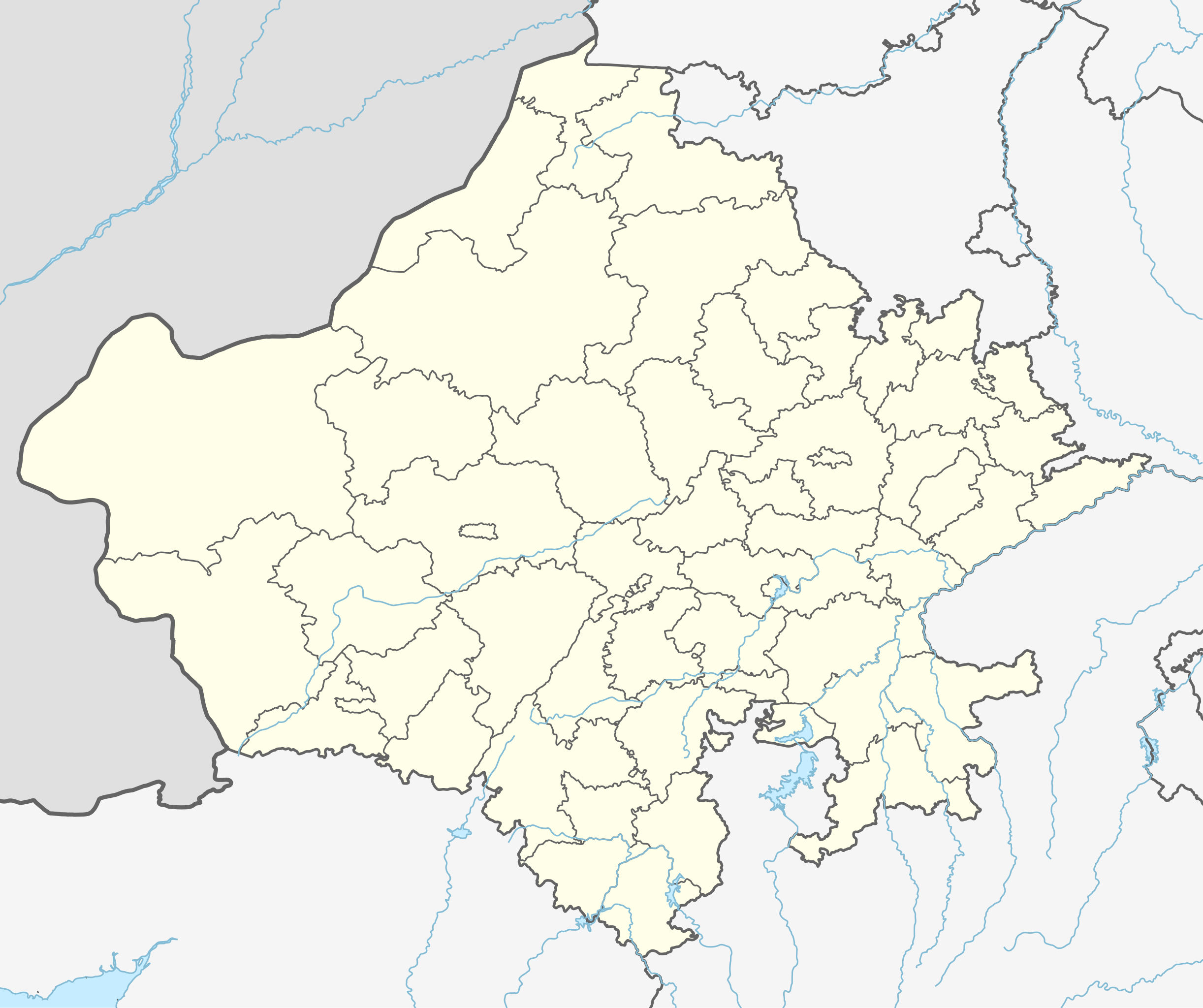
Location map of Rajasthan. Geographic limits of the map:
|
| Date | |
| Source | |
| Author |
|
Licensing
I, the copyright holder of this work, hereby publish it under the following license:
This file is licensed under the Creative Commons Attribution-Share Alike 3.0 Unported license.
- You are free:
- to share – to copy, distribute and transmit the work
- to remix – to adapt the work
- Under the following conditions:
- attribution – You must give appropriate credit, provide a link to the license, and indicate if changes were made. You may do so in any reasonable manner, but not in any way that suggests the licensor endorses you or your use.
- share alike – If you remix, transform, or build upon the material, you must distribute your contributions under the same or compatible license as the original.
File history
Click on a date/time to view the file as it appeared at that time.
| Date/Time | Thumbnail | Dimensions | छ्य्लामि | Comment | |
|---|---|---|---|---|---|
| current | १८:०७, २८ सेप्टेम्बर २०२३ | | १,०९३ × ९१६ (५११ KB) | C1MM | Added new districts |
| ०२:२२, २७ फेब्रुवरी २०२३ |  | १,०५१ × ८८० (३२० KB) | C1MM | fixed Churu district | |
| ०५:३६, ३१ मे २०२१ |  | १,०५९ × ८८७ (३६३ KB) | C1MM | Fixed Bundi dist | |
| ०५:१०, ३१ मे २०२१ |  | १,०५९ × ८८७ (३६४ KB) | C1MM | Corrected rivers and dist boundaries | |
| ०५:०३, १८ डिसेम्बर २०२० |  | ७७० × ६४५ (७५० KB) | C1MM | Fixed rivers | |
| १७:४१, २४ अक्टोबर २०२० |  | ७७० × ६४५ (७५६ KB) | C1MM | Changed indus | |
| ०२:५३, ३० जुन २०२० |  | ७७० × ६४५ (७५३ KB) | C1MM | Relayered | |
| १५:१२, २७ अप्रिल २०२० |  | ६०४ × ५२८ (२०२ KB) | C1MM | Added rivers | |
| १९:०१, ५ जुलाई २०१४ |  | ६०४ × ५२८ (१२७ KB) | Milenioscuro | User created page with UploadWizard |
File usage
There are no pages that use this file.
Global file usage
The following other wikis use this file:
- Usage on azb.wikipedia.org
- لانقهوالا دؤیوشو
- فولاد (هیندوستان)
- فاندا ویلیج
- ساتیون
- سارساندا
- سارساینا
- سارودا
- ساردارپورا
- سارادیت
- سانوالی
- سانوراد
- سانتو (هیندوستان)
- سانساری
- سانودا, کوتکاسیم
- سانخوالی
- سانخو, سیکار
- ماولاسار
- سانجو (هیندوستان)
- ماتورا
- کالیپاهاری
- ساندوا
- ساندرو
- کالاندری
- سامراو
- ساملییا
- ماروت, راجاستان
- سالولی, راجاستان
- سالاواس
- ولار, راجاستان
- ساهوا, راجاستان
- ساهووالا
- رامدورا
- مانقلونا
- روساوا (هیندوستان)
- رول ناقاور
- ماندوالا
- روهات (هیندوستان)
- رودو, ناقاور
- ماندور
- آهور (هیندوستان)
- ماندی, فاجی
- ماندهولی
- جونل (هیندوستان)
- جونایچا خورد
- جوجاوار
- آناندپور کالو
- جیلییا
- جارسار چهوتا
- سومسار
- ماناکساس
View more global usage of this file.