
किपा:India Arunachal Pradesh location map.svg

Size of this PNG preview of this SVG file: ८०० × ३९४ pixels. Other resolutions: ३२० × १५८ pixels | ६४० × ३१५ pixels | १,०२४ × ५०४ pixels | १,२८० × ६३१ pixels | २,५६० × १,२६१ pixels | १,६८५ × ८३० pixels.
Original file (SVG file, nominally १,६८५ × ८३० pixels, file size: ५३१ KB)
| Description |
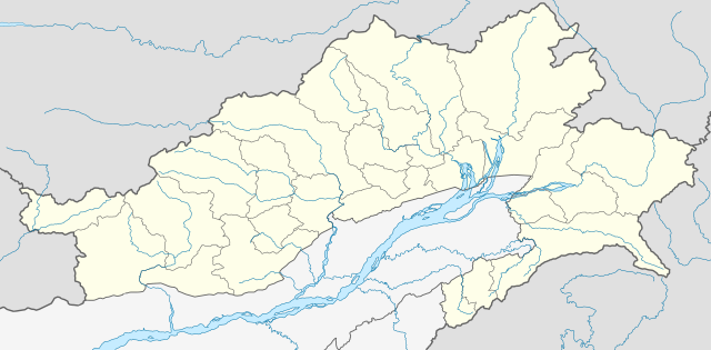
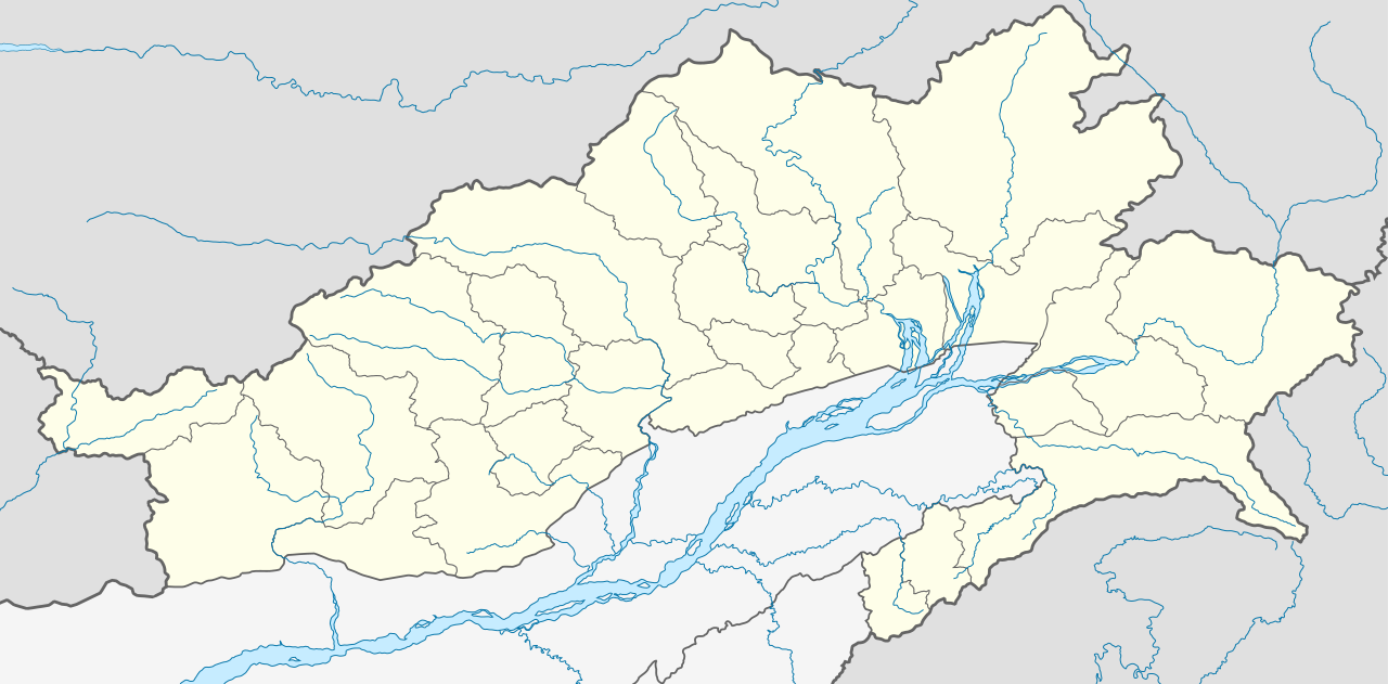
Location map of Arunachal Pradesh Geographic limits of the map:
|
| Date | (UTC) |
| Source | |
| Author |
|
| Other versions | Derivative works of this file: India Arunachal Pradesh districts Assamese.svg |
I, the copyright holder of this work, hereby publish it under the following license:
This file is licensed under the Creative Commons Attribution-Share Alike 3.0 Unported license.
- You are free:
- to share – to copy, distribute and transmit the work
- to remix – to adapt the work
- Under the following conditions:
- attribution – You must give appropriate credit, provide a link to the license, and indicate if changes were made. You may do so in any reasonable manner, but not in any way that suggests the licensor endorses you or your use.
- share alike – If you remix, transform, or build upon the material, you must distribute your contributions under the same or compatible license as the original.
Original upload log
This image is a derivative work of the following images:
- File:Arunachal_Pradesh_locator_map.svg licensed with Cc-by-sa-3.0
Uploaded with derivativeFX
File history
Click on a date/time to view the file as it appeared at that time.
| Date/Time | Thumbnail | Dimensions | छ्य्लामि | Comment | |
|---|---|---|---|---|---|
| current | ०४:५२, १३ जुन २०२१ | | १,६८५ × ८३० (५३१ KB) | C1MM | Decreased size, added better dist boudnaries |
| ०७:५६, १३ मार्च २०२१ |  | १,८४५ × १,०४६ (८२४ KB) | C1MM | Added river | |
| ०७:५२, १३ मार्च २०२१ |  | १,८४५ × १,०४६ (८२० KB) | C1MM | Corrected rivers and district boundaries | |
| १८:१४, १८ ज्यानुवरी २०२१ |  | १,८४५ × १,०४६ (३६० KB) | C1MM | Changed weight of district boundaries | |
| ०८:१२, १८ ज्यानुवरी २०२१ |  | १,८४५ × १,०४६ (३५८ KB) | C1MM | Fixed borders and corrected new district boundaries | |
| १८:३७, २ अगस्ट २०२० |  | १,४५६ × ८०० (२७४ KB) | C1MM | Relayered | |
| ०४:०४, १६ अप्रिल २०२० |  | १,४५६ × ८०० (३०९ KB) | C1MM | Updated borders | |
| ०४:०३, १६ अप्रिल २०२० |  | १,४५६ × ८०० (३०९ KB) | C1MM | Corrected border sizing | |
| ०३:५८, १६ अप्रिल २०२० |  | १,४५६ × ८०० (३०९ KB) | C1MM | Extended to include new lat/longitude | |
| २२:३२, १२ अप्रिल २०२० |  | १,४५५ × ७४६ (२७६ KB) | C1MM | Corrected borders and added new districts |
File usage
There are no pages that use this file.
Global file usage
The following other wikis use this file:
- Usage on anp.wikipedia.org
- Usage on ar.wikipedia.org
- Usage on as.wikipedia.org
- Usage on azb.wikipedia.org
- Usage on bh.wikipedia.org
- Usage on bn.wikipedia.org
- ইটানগর
- অরুণাচল প্রদেশ
- জিরো
- আলং
- বাসার
- বোমডিলা
- চ্যাংলাং
- দপোরিজো
- দেওমালি
- জয়রামপুর
- খোনসা
- নাহারলাগুন
- নামসাই
- পাসিঘাট
- রইং
- সেপ্পা
- তওয়াং
- তেজু
- টেমপ্লেট:অবস্থান মানচিত্র ভারত অরুণাচল প্রদেশ
- ভালুকপুং
- জিরো বিমানবন্দর
- তেজু বিমানবন্দর
- পাসিঘাট বিমানবন্দর
- ইংকিয়ং
- অনিনি
- পালিন
- মিয়াও
- মেছুকা
- মডিউল:অবস্থান মানচিত্র/উপাত্ত/ভারত অরুণাচল প্রদেশ
View more global usage of this file.