
किपा:Australia relief map.jpg

Size of this preview: ६६८ × ६०० pixels. Other resolutions: २६७ × २४० pixels | ५३४ × ४८० pixels | ८५५ × ७६८ pixels | १,१४० × १,०२४ pixels | १,३३६ × १,२०० pixels.
Original file (१,३३६ × १,२०० pixels, file size: ३६६ KB, MIME type: image/jpeg)
Summary
| Description |
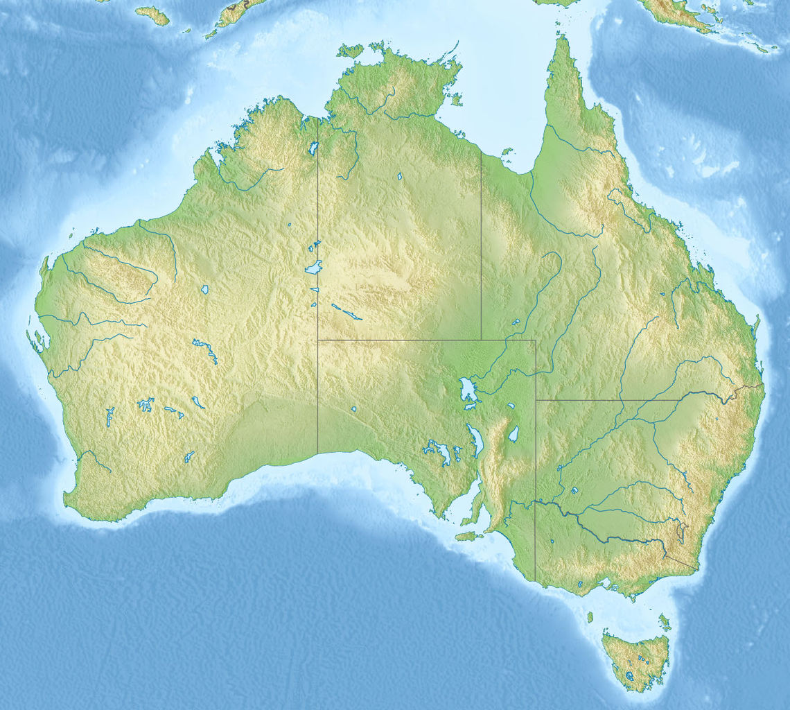
English: Relief map of Australia, including the borders of the states of the Commonwealth of Australia
Equirectangular projection, N/S stretching 110 %. Geographic limits of the map:
|
| Date | |
| Source |
|
| Author | |
| Other versions |
Derivative works of this file: Skylab reentry map.svg |

Licensing
This file is licensed under the Creative Commons Attribution-Share Alike 3.0 Unported license.
- You are free:
- to share – to copy, distribute and transmit the work
- to remix – to adapt the work
- Under the following conditions:
- attribution – You must give appropriate credit, provide a link to the license, and indicate if changes were made. You may do so in any reasonable manner, but not in any way that suggests the licensor endorses you or your use.
- share alike – If you remix, transform, or build upon the material, you must distribute your contributions under the same or compatible license as the original.
File history
Click on a date/time to view the file as it appeared at that time.
| Date/Time | Thumbnail | Dimensions | छ्य्लामि | Comment | |
|---|---|---|---|---|---|
| current | ०७:३८, १४ नोभेम्बर २०१० | | १,३३६ × १,२०० (३६६ KB) | Виктор В | == {{int:filedesc}} == {{Information |Description={{en|Relief map of Australia}} Equirectangular projection, N/S stretching 110 %. Geographic limits of the map: * N: 9.0° S * S: 44.5° S * W: 111.5° E * E: 155.0° E |Source=* [[:File:A |
File usage
The following page uses this file:
Global file usage
The following other wikis use this file:
- Usage on ab.wikipedia.org
- Usage on als.wikipedia.org
- Usage on am.wikipedia.org
- Usage on ar.wikipedia.org
- Usage on arz.wikipedia.org
- Usage on ast.wikipedia.org
- Usage on as.wikipedia.org
- Usage on azb.wikipedia.org
- Usage on az.wikipedia.org
- Böyük Suayırıcı sıra dağları
- Liverpul (dağ)
- Böyük Viktoriya səhrası
- Tasman dənizi
- Timor dənizi
- Eyr
- Uluru
- Hiller gölü
- Kakadu Milli Parkı
- Uluru–Kata-Tyuta Milli Parkı
- Purnululu Milli Parkı
- Şablon:Yer xəritəsi Avstraliya
- Freyzer (ada)
- Mərcan dənizi
- Kostyuşko (dağ)
- Bass boğazı
- Karpentariya körfəzi
- Spenser körfəzi
- Torres boğazı
- Dundas boğazı
- Tasman yarımadası
- Yanakie bərzəxi
- D'Antrkasto boğazı
- Undara Vulkanik Milli Parkı
- Kalbarri Milli Parkı
- Böyük Avstraliya körfəzi
- Torrens gölü
- Melvill (ada, Avstraliya)
- Bayron burnu
- York burnu (Avstraliya)
- Saut-Poynt
- Stip-Poynt burnu
- Böyük Qumlu səhra
- Kiçik Qumlu səhra
View more global usage of this file.