
किपा:Map of Illinois highlighting Edwards County.svg

Size of this PNG preview of this SVG file: ३३६ × ५९९ pixels. Other resolutions: १३४ × २४० pixels | २६९ × ४८० pixels | ४३० × ७६८ pixels | ५७४ × १,०२४ pixels | १,१४८ × २,०४८ pixels | ३,४५३ × ६,१५७ pixels.
Original file (SVG file, nominally ३,४५३ × ६,१५७ pixels, file size: ८५ KB)
Summary
| Description |
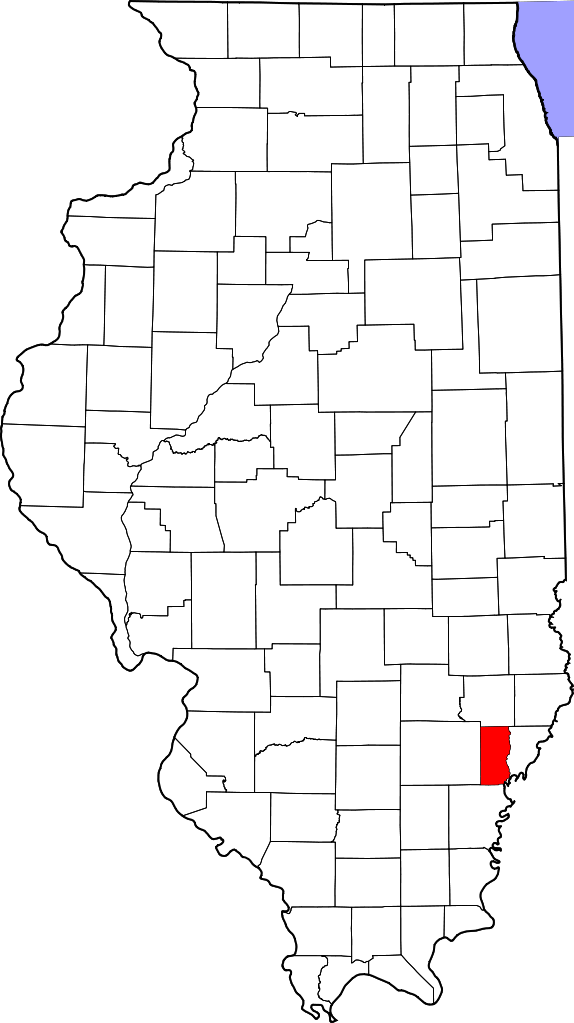
English: This is a locator map showing Edwards County in Illinois. For more information, see Commons:United States county locator maps. |
| Date | |
| Source |
Own work: English: The maps use data from nationalatlas.gov, specifically countyp020.tar.gz on the Raw Data Download page. The maps also use state outline data from statesp020.tar.gz. The Florida maps use hydrogm020.tar.gz to display Lake Okeechobee. |
| Author | David Benbennick |
Licensing
| I, the copyright holder of this work, release this work into the public domain. This applies worldwide. In some countries this may not be legally possible; if so: I grant anyone the right to use this work for any purpose, without any conditions, unless such conditions are required by law. |
File history
Click on a date/time to view the file as it appeared at that time.
| Date/Time | Thumbnail | Dimensions | छ्य्लामि | Comment | |
|---|---|---|---|---|---|
| current | ११:३४, १२ फेब्रुवरी २००६ | | ३,४५३ × ६,१५७ (८५ KB) | David Benbennick | {{subst:User:Dbenbenn/clm|county=Edwards County|state=Illinois}} |
| ११:०९, १२ फेब्रुवरी २००६ |  | ३,४५३ × ६,१५७ (८५ KB) | David Benbennick | {{subst:User:Dbenbenn/clm|county=Edwards County|state=Illinois}} |
File usage
The following page uses this file:
Global file usage
The following other wikis use this file:
- Usage on ar.wikipedia.org
- Usage on be.wikipedia.org
- Usage on bg.wikipedia.org
- Usage on bpy.wikipedia.org
- Usage on ca.wikipedia.org
- Usage on cdo.wikipedia.org
- Usage on ceb.wikipedia.org
- Usage on ce.wikipedia.org
- Usage on cy.wikipedia.org
- Usage on de.wikipedia.org
- Usage on el.wikipedia.org
- Usage on en.wikipedia.org
- List of counties in Illinois
- Edwards County, Illinois
- Albion, Illinois
- Bone Gap, Illinois
- Browns, Illinois
- Grayville, Illinois
- West Salem, Illinois
- Template:Edwards County, Illinois
- Template:EdwardsCountyIL-geo-stub
- Ellery, Illinois
- Samsville, Illinois
- English Settlement (Illinois)
- User:Nyttend/County templates/IL/1
- Albion Precinct, Edwards County, Illinois
- French Creek Precinct, Edwards County, Illinois
- Bennington, Illinois
- Black, Illinois
- Maple Grove, Illinois
- Marion, Edwards County, Illinois
- Red Top, Illinois
- Lexington, Edwards County, Illinois
- Mills Prairie, Illinois
- Piankashawtown, Illinois
View more global usage of this file.