
किपा:India Gujarat location map.svg

Size of this PNG preview of this SVG file: ७५५ × ५९९ pixels. Other resolutions: ३०३ × २४० pixels | ६०५ × ४८० pixels | ९६८ × ७६८ pixels | १,२८० × १,०१६ pixels | २,५६० × २,०३२ pixels | १,१७३ × ९३१ pixels.
Original file (SVG file, nominally १,१७३ × ९३१ pixels, file size: ६५१ KB)
Summary
| Description |
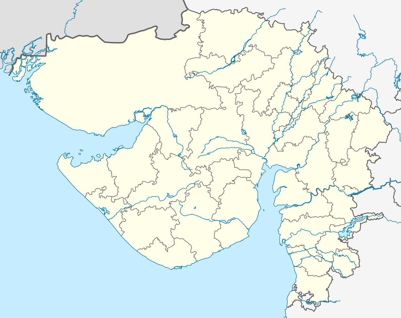
Deutsch: Postionskarte von Gujarat mit der Verwaltungsgliederung seit 15.08.2013
English: location map of Gujarat with the administrative divisions since August 15, 2013
Quadratische Plattkarte. Geographische Begrenzung der Karte:
English: Location map of Gujarat
Equirectangular projection. Geographic limits of the map:
|
||
| Date | see file history | ||
| Source | Own work | ||
| Author | Maximilian Dörrbecker (Chumwa) | ||
| Permission (Reusing this file) |
I, the copyright holder of this work, hereby publish it under the following licenses:
This file is licensed under the Creative Commons Attribution-Share Alike 3.0 Unported license.
You may select the license of your choice. |
||
| Other versions |
|


.svg)


|
This map has been made or improved in the German Kartenwerkstatt (Map Lab). You can propose maps to improve as well.
|
File history
Click on a date/time to view the file as it appeared at that time.
| Date/Time | Thumbnail | Dimensions | छ्य्लामि | Comment | |
|---|---|---|---|---|---|
| current | ०३:२०, २ अगस्ट २०२१ | | १,१७३ × ९३१ (६५१ KB) | C1MM | Reverted to version as of 03:16, 2 August 2021 (UTC) More accurate rivers, coastline from satellite imagery - different bounds (74.62 and 24.82) |
| ०३:१८, २ अगस्ट २०२१ |  | २,१७० × १,७२२ (२६१ KB) | C1MM | Reverted to version as of 20:30, 29 April 2020 (UTC) | |
| ०३:१६, २ अगस्ट २०२१ |  | १,१७३ × ९३१ (६५१ KB) | C1MM | Changed map bounds, coastlines and rivers | |
| २०:३०, २९ अप्रिल २०२० |  | २,१७० × १,७२२ (२६१ KB) | C1MM | New layers | |
| ०३:२९, १९ नोभेम्बर २०१३ |  | २,१७० × १,७२२ (३८६ KB) | Chumwa | As of 15 August 2013, there are 33 administrative districts in the state. | |
| १३:५७, ११ अप्रिल २०१० |  | २,१७० × १,७२२ (३६२ KB) | Chumwa | == {{int:filedesc}} == {{Information |Description= {{de|Postionskarte von Gujarat}} Quadratische Plattkarte. Geographische Begrenzung der Karte: * N: 24°49'00" N (24.8167°N) * S: 19°57'00" N (19.9500°N) * W: 68°00'00" O (68.0000°O) * |
File usage
The following 7 pages use this file:
Global file usage
The following other wikis use this file:
- Usage on ar.wikipedia.org
- Usage on as.wikipedia.org
- Usage on azb.wikipedia.org
- احمدآباد (هیندوستان)
- علیپور، ناوسری
- وانالا
- ساتامبا
- سانواو
- سانوسری
- ماوجینجاوا
- ماتار, خدا
- ماتا نو ماده
- ساملایا
- سامی, قوجارات
- ساماو (هیندوستان)
- ساماترا
- سالدی (هیندوستان)
- سالانقپور, قوجارات
- واسو (هیندوستان)
- مانوند
- سایجپور
- واتامان
- لاخپات
- مانجال
- دانتا, باناسکانتا
- روپال, قاندهیناقار
- کاچهولی
- روجید (هیندوستان)
- جونا یوقلا
- جونا ساوار
- جونا جاشاپار
- رها (هیندوستان)
- آمودرا (هیندوستان)
- آمراپور, جامناقار, قوجارات
- جهودوادلی
- سونارییا
- جهیلارییا
- جاران
- جانجارییا
- راوالییاوادار
- ماموارا
- جتالواسانا
- راتنال
- راتانپار
- راسولپارا
- جارود, قوجارات
View more global usage of this file.