
किपा:Bosnia and Herzegovina location map.svg

Size of this PNG preview of this SVG file: ६२८ × ५९९ pixels. Other resolutions: २५२ × २४० pixels | ५०३ × ४८० pixels | ८०५ × ७६८ pixels | १,०७४ × १,०२४ pixels | २,१४७ × २,०४८ pixels | १,०६३ × १,०१४ pixels.
Original file (SVG file, nominally १,०६३ × १,०१४ pixels, file size: १४१ KB)
Summary
| Description |
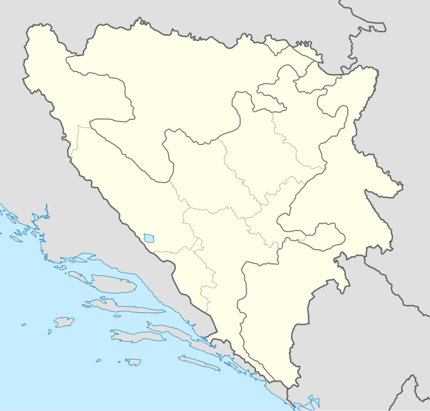
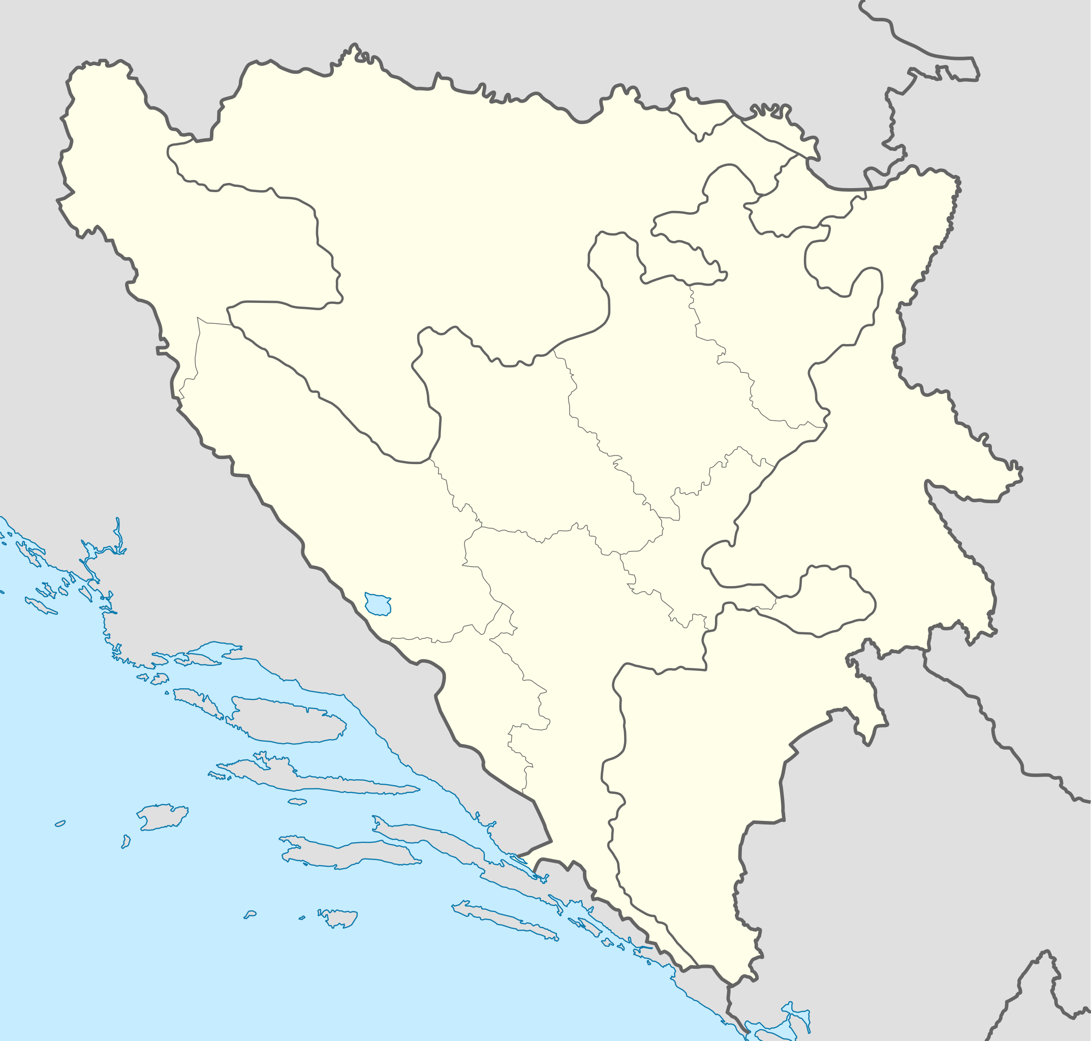
Deutsch: Positionskarte von Bosnien und Herzegowina
Quadratische Plattkarte, N-S-Streckung 140 %. Geographische Begrenzung der Karte:
English: Location map of Bosnia and Herzegovina
Equirectangular projection, N/S stretching 140 %. Geographic limits of the map:
|
| Date | |
| Source | own work, using United States National Imagery and Mapping Agency data |
| Author | NordNordWest |
| Other versions |
|


|
This map has been made or improved in the German Kartenwerkstatt (Map Lab). You can propose maps to improve as well.
|
Licensing
I, the copyright holder of this work, hereby publish it under the following licenses:

|
Permission is granted to copy, distribute and/or modify this document under the terms of the GNU Free Documentation License, Version 1.2 or any later version published by the Free Software Foundation; with no Invariant Sections, no Front-Cover Texts, and no Back-Cover Texts. A copy of the license is included in the section entitled GNU Free Documentation License. |
This file is licensed under the Creative Commons Attribution-Share Alike 3.0 Unported license.
- You are free:
- to share – to copy, distribute and transmit the work
- to remix – to adapt the work
- Under the following conditions:
- attribution – You must give appropriate credit, provide a link to the license, and indicate if changes were made. You may do so in any reasonable manner, but not in any way that suggests the licensor endorses you or your use.
- share alike – If you remix, transform, or build upon the material, you must distribute your contributions under the same or compatible license as the original.
You may select the license of your choice.
File history
Click on a date/time to view the file as it appeared at that time.
| Date/Time | Thumbnail | Dimensions | छ्य्लामि | Comment | |
|---|---|---|---|---|---|
| current | १९:२१, १० नोभेम्बर २०११ | | १,०६३ × १,०१४ (१४१ KB) | NordNordWest | at least we should keep lake Buško |
| १८:२२, १० नोभेम्बर २०११ |  | १,०६३ × १,०१४ (१४३ KB) | Mostarac | Regije u RS-u imaju samo statističku funkciju, za razliku od županija/kantona u FBiH, koje su uprave podjedinice! | |
| ११:०६, ३ अक्टोबर २०११ |  | १,०६३ × १,०१४ (१४८ KB) | NordNordWest | upd | |
| १६:१९, २७ सेप्टेम्बर २०११ |  | १,०६३ × १,०१४ (१४३ KB) | AnelZukic | once again reverted the changes, I'm givin up | |
| १६:१६, २७ सेप्टेम्बर २०११ | No thumbnail | ० × ० (४.६३ MB) | AnelZukic | added Republika Srpka regions | |
| १५:०८, २७ सेप्टेम्बर २०११ |  | १,०६३ × १,०१४ (१४३ KB) | AnelZukic | reverted the changes | |
| १५:०३, २७ सेप्टेम्बर २०११ |  | १,२८० × १,२०८ (३५ KB) | AnelZukic | Added regions in Republika Srpska | |
| १४:१९, ११ अप्रिल २०११ |  | १,०६३ × १,०१४ (१४३ KB) | NordNordWest | upd | |
| १८:४८, २५ अगस्ट २००८ |  | १,०६४ × १,०१६ (२२३ KB) | NordNordWest | size correction | |
| १९:३७, ३० जुलाई २००८ |  | ७०९ × ६७७ (२२० KB) | NordNordWest | {{Information |Description= {{de|Positionskarte von Bosnien und Herzegowina}} Quadratische Plattkarte, N-S-Streckung 140 %. Geographische Begrenzung der Karte: * N: 45.4° N * S: 42.4° N * W: 15.5° O * O: 19.9° O {{en|Lo |
File usage
The following 3 pages use this file:
Global file usage
The following other wikis use this file:
- Usage on af.wikipedia.org
- Usage on als.wikipedia.org
- Usage on an.wikipedia.org
- Usage on ar.wikipedia.org
- Usage on arz.wikipedia.org
- Usage on ast.wikipedia.org
- Usage on av.wikipedia.org
- Usage on azb.wikipedia.org
- Usage on az.wikipedia.org
View more global usage of this file.